


 |
| I scrambled up the rocks from the bottom of that ravine to this vantage point (and a little past that). |

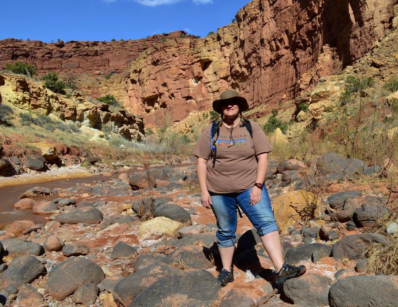
Then I went backpacking up a pretty strenuous trail to a campground, which was crazy and full of unexpected adventures.

This summer- as it has been many previous summers - it is my goal to hike my favorite peak and the only one I have ever scaled before - Mount Timpanogos. It's a very high and very popular mountain peak to hike in my area, probably the most popular in Utah. (Click here for info on the hike.)
It is not just a goal I've had for a while and want to finally check off my list, but I feel it is a metaphor that will be rather fitting as a way to celebrate the completion of my college degree that took me 10 years. I've done a lot of personal growth (and am still in the middle of doing that), so it will also be a good culmination of that and a way to express my appreciation for all the good things that have happened in my life. Plus it'll be wicked fun and beautiful!
So, in order to work my way up to that strenuous 15 mile hike, I have plans to do a lot of fun hikes this summer leading up to the Timp hike in August. Two I for sure want to do that have also been on my list for a while, are Squaw Peak and Big Baldy. So here, I am going to list information for many local hikes I would like to try some day, and several of which I will do this summer leading up to the Timp hike. I suspect this will be useful information for many people in my area anyway, so here you go. (Work in progress...I wanted to get this published but I will add more hikes to this in the near future.)
Sites with good info on lots of hikes
Provo Trails on Utah.com - lists 6 easy, 2 moderate, and 2 strenuous hikes in the Provo, Utah area, with info on each hike including pictures, directions, etc.
Salt Lake Trails on Utah.com - lists 5 easy, 9 moderate, and 3 strenuous hikes in the Salt Lake City, Utah area, with info on each hike including pictures, directions, etc.
6 Family Friendly Hikes to Waterfalls - article from KSL
I am going to categorize these hikes to my own specifications of how I will work my way up through them, obviously others will want to do it the way that works well for them. By "kid friendly" I mean preschool/ school-age kids. Depending on what your kids are used to, toddlers and infants should probably be in a carrier for most of the kid friendly hikes because I'm not really listing here what I would consider to be strolls rather than hikes. "Moderately kid friendly" are a bit longer or steeper, so probably wouldn't work for most preschoolers if they've not already been conditioned for that kind of thing. All the moderate hikes I plan to do without my school-age children.
Easy: Kid Friendly
Devil's KitchenLocation: Nebo Scenic Loop in Payson Canyon
Distance: 0.5 miles round trip
Info: Sounds like it's a bunch of rock formations! :)
Additional Info and directions to trailhead: http://www.utah.com/hike/devils-kitchen-trail
Bridal Veil Falls
Location: Provo, Utah
Distance: 0.2 miles round trip
Elevation: 150 ft. gain

For added exercise or fun, you could hike or bike up the Provo River Trail from wherever- it's a really nice paved trail that is well used. If you park at Nunn's Park just south of Bridal Veil Park, it would add just 0.8 miles each way. Going from 800 North in Orem via the Provo River Trail is just 4 miles to Bridal Veil which makes a fun family ride. The pool at the bottom of Bridal Veil is a fun way to cool off. If you have good water shoes/ sandals and are adventurous, you can even hike straight from the pool up the waterfall itself rather than taking the 0.2 mile trail.
 |
| The pool is just in front of where my son is standing, and those are the rocks you could climb straight up to the waterfall. |
Additional Info: http://alltrails.com/trail/us/utah/bridal-veil-falls-trail--2
Grotto Falls
Location: Nebo Scenic Loop in Payson Canyon
Distance: 0.6 miles round trip
Info: Sounds short and easy!
Additional Info & Directions: http://www.utah.com/hike/grotto-falls-trail
Battle Creek Falls
Location: Pleasant Grove, Utah
Distance: 1.2 miles round trip
 |
| Battle Creek Falls |
Additional Info and directions to Trailhead: http://www.utah.com/hike/battle-creek-falls-trail
Warm Up: Moderately Kid Friendly
Scout Falls
Location: Timpooneke Trailhead, AF Canyon
Distance: 2 miles round trip (or 2.8? The site was a little confusing)
Elevation: 700 ft gain
Info (from source): When you leave the parking lot, pass the outhouse to pick up the trail, then immediately go to the right. The other trail will require bushwacking to find the right trail again, so you might as well take the right trail to start with. You meander through trees for awhile. At the next junction after 1.4 miles, go left to see Scout Falls or left to continue to the summit. Scout Falls is only 100ft off the main trail.
Timp Falls
Location: Provo Canyon, on the Aspen Grove trail up Mount Timpanogos
Distance: 2 miles round trip
 |
| Timp Falls |
Info: This is a fun little hike and at the right time of year, you will see a lot of bonus waterfalls from mountain run-off. It is the kind of hike where you could go as short or as far as you want. I'm putting it under moderately kid friendly just because it is slightly steep at times, so if you go all the way to the falls, it could be a little harder on little tikes. You might find for your family that it's actually plenty easy.
Additional Info: http://www.utah.com/hike/timpanogos-falls-trail
Stewart Falls
Location: Aspen Grove in Provo Canyon
Distance: 3.5 miles round trip
Elevation: 100 ft gain
Info: Beautiful waterfall that is over 200 feet tall! It's a fairly even up-and-down hike on a slightly narrow trail. Once you get to the waterfall, you can hike down a pretty steep part to the bottom of the falls and there is a nice area to sit and have a snack, and if it's hot outside, enjoy the spray from the waterfall. This hike goes off from the same trailhead parking area as Timpanogos Falls, Emerald Lake, and Timp Summit- (Aspen Grove TH). This has a separate trail to the south of the other.
Additional Info and directions to trailhead: http://www.utah.com/hike/stewart-falls-trail
Fifth Water Waterfalls & Hot Springs
Location: Spanish Fork Canyon
Distance: 4.5 miles round trip
Info: Locally known as the "hot pots", this is a popular destination. I've heard people tend to hang out in the pools nude, so be prepared for that if you're bringing kids, or try to go at off-peak times.
Additional Info & Directions: http://www.utah.com/hike/fifth-water-waterfalls-and-hot-spring-trail
Timpanogos Cave
Location: American Fork Canyon, Utah
Distance: 1.5 miles, steep
Elevation: 1,092 ft elevation gain, total elevation: 6,730 feet
Info: strenuous, steep, but paved and short. Smaller children may struggle a bit or take a longer time. To take the tour of the cave, you have to buy tickets.
Additional info: Cave tour and stuff (National Monument website)
The Y
Location: Terrace Drive in Provo, Utah
Distance: 2.4 miles round-trip, steep
Info: Fun hike for kids cause they get to climb on the Y, and it's fun to eat lunch up there. The trail is pretty wide and well-maintained, but it's rather steep so beware of that. Nice views of Utah Valley and Utah Lake from up there.
Additional Info and directions to trailhead: http://www.utah.com/hike/y-on-y-mountain-trail
Moderate: Steepness Practice
Big Baldy
 |
| Big Baldy is the large round peak spanning between Battle Creek Canyon and dry Canyon (labeled) |
Distance: about 5 miles round trip
Elevation: 3200 ft elevation gain
Info: This can be hiked from either the Dry Canyon trailhead in Orem, or the Battle Creek trailhead in Pleasant Grove. When I do it, I'd like to start at one and end at the other to get the full range of scenery.
Additional information: On Summitpost.org
Y Mountain
Location: Terrace Drive in Provo, Utah
Distance: 6 miles round trip
Elevation: 3346 ft gain, 8,522 total
Info: The hike to the Y can be extended to go to the summit of the mountain. The trail sounds a little complicated, so be sure to look at the directions and maybe see if you can find a good map.
Additional Info & directions: http://www.trails360.com/hikes/view/y_mountain
Mount Olympus Summit
Location: Wasatch Blvd, Salt Lake City (about 4500 S)
Distance: 7.5 miles round trip
Elevation: 4100 ft gain
Info: Beautiful hike, very steep
Additional Info & Directions: http://www.utah.com/hike/mount-olympus-summit-trail
Moderate: Distance Practice
Squaw PeakLocation: Provo, Utah
Distance: 7 miles
Elevation: 2709 ft elevation gain, 7876 total peak elevation
Info: This hike heads up the popular and beautiful Rock Canyon in Provo, Utah, and then goes around the back side of this peak until it comes to the front and heads to the peak. I have gotten about 3/4 of the way up this when we ran out of water, so make sure you take plenty of water! I'll be taking my 3 L Camelbak and maybe a bit more. (I drink a lot of water!)
Additional Info: Directions and trail info at rockcanyonutah.
 |
| Squaw Peak is the jutting point to the left of Rock Canyon, right about the middle of the picture |
Emerald Lake
Location: Aspen Grove Trailhead, Provo Canyon
Distance: 9.6 round trip
Elevation: 3500 ft gain
Info: This is going up the Mount Timpanogos trail but ending before heading to the summit. (Only 2 more miles/ 1100 ft elevation gain from here to the summit of the mountain.) It is a pretty area, a great "practice run" for the real thing.
Additional Info: This link has great details on the hike to timp, including a bunch of stops on the way. http://www.wasatchhiker.com/home/wasatch-trails/timpanogos-aspengrove/
Strenuous: The Goal
Mount Timpanogos SummitLocation: Aspen Grove Trailhead in Provo Canyon, or Timpooneke Trailhead in American Fork Canyon
Distance: 15 mile round trip, Timpooneke
Elevation: 11,700 total, 4,800 ft gain
 |
| Mount Timpanogos |
Info: I plan to take the Timpooneke trailhead. The difference from what I understand is that the Timpooneke is 1 mile longer each way but less steep than Aspen Grove. That is one reason I will take the other trail, but also because I plan to take a separate hike to Emerald Lake via the Aspen Grove trailhead earlier in the season, so this way I will get to see pretty much all the scenery both trails have to offer.
Apparently I only have pictures of Timp with snow on it! I look forward to getting some new pictures when I go. :)
 |
| Timp in the early winter- view from Alpine Loop |
Additional Info: http://www.fs.fed.us/wildflowers/regions/intermountain/MtTimpanogos/index.shtml
Timpooneke trailhead: http://www.utah.com/hike/mt-timpanogos-summit-via-timpooneke-trail
http://www.wasatchhiker.com/home/wasatch-trails/timpanogos-timpooneke/
Aspen Grove trailhead: http://www.wasatchhiker.com/home/wasatch-trails/timpanogos-aspengrove/
No comments:
Post a Comment